
The relationship between the informal city and the institutions is obviously complex and it often turns into a refusal to dialogue and mutual recognition.
For the residents of many slums, the “state” is a far, unreliable, if not threatening, entity, while for the politicians the slums are often a problem to remove.
It’s not really about a physical removal of the districts with forced evictions (risking to create even bigger problems) but rather the total indifference and absence of planning: in a few words, if we exclude times of elections, the slums and their residents don’t really exist in the politicians’ agendas.
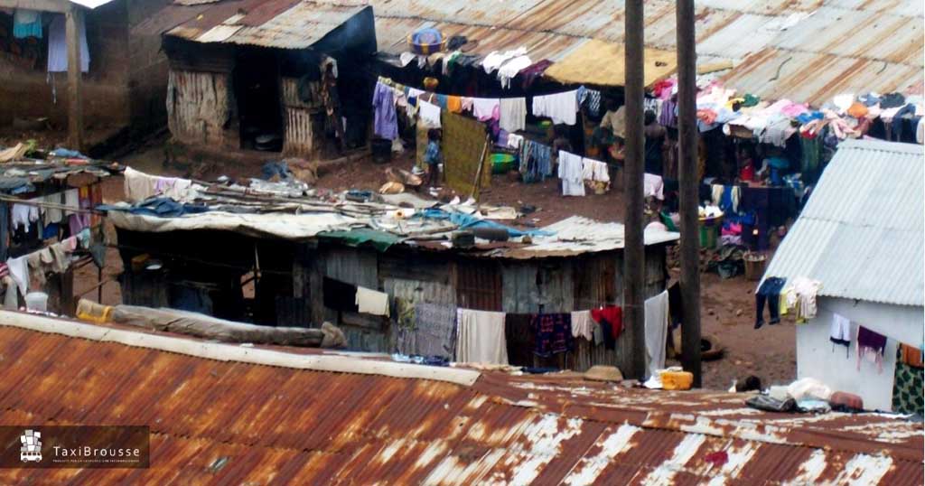
The most striking example is that the majority of the slums don’t appear on the official maps where the urban plans are drafted.

From the point of view of the institutions, it is sometimes feared that including the “abusive” districts on the official cartographies would create a sort of recognition that they prefer to avoid, in other cases mapping in detail the districts considered as temporary or anyway strongly ever changing appears as a useless effort.
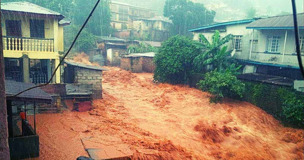
Of course to see areas that are occupied by tens of thousands of people being represented on the maps as deserted or not built raises many doubts on the efficacy that a plan based on those maps could ever have.
If white spaces on maps are likely to create great problems, it is just as much dangerous to have missing data from censuses.
To date, there are almost no classifications that allow to define if an inhabitant lives in an area defined as slum or not: the distinctions are only limited to the context (urban or rural) and to the quality of the building.
This gap is partially filled by initiatives of self-monitoring realized by residents’ organizations that we refer to in this article, but these initiatives are still not diffused and coordinated enough to provide the institutions with a complete picture of the phenomenon.
After a phase of analysis on the current census tools used in different countries, UN-Habitat has highlighted the problem, stressing on the fact that, especially considering the health indicators, a greater attention is necessary in this sense.
A multidisciplinary team that includes members of international organizations, researchers, professionals and employees of statistics agencies of numerous member states has started to develop a roadmap articulated in three main points:
- record the currently used techniques to identify the slums’ residents, by highlighting strengths and weaknesses of each method;
- produce a series of recommendations to favour the identification of urban areas such as slums inside the census and mapping tools;
- define a research agenda aimed at exploring the most effective methodologies to identify the slums, testing them directly also with the use of geospatial data.
Once the standard methods of definitions are fixed, the realization of a guide has been planned, with the aim of both assuring the integration of the tools identified in the different systems of collection and elaboration of data, and, especially, raising awareness the nations statistics institutions on the importance of mapping the slums for a more inclusive urban development.
Also Taxibrousse has given its contribution to this important initiative, taking part side by side to UNDP at the preparation of a toolkit gathering best practice of participatory data collection developed by the slums’ residents.

Contact us to receive the full .pdf version of the toolkit “From urban data collection to urban design”

Federico Monica
Architect and Urban Planner, Ph.D. in Urban and regional planning. Founder of Taxibrousse studio, specialized in informal settlements assessment, slum upgrading strategies, low-cost and low-tech building processes.
Share this page!
Featured posts


English version by Carla Procida – interior and service designer
TaxiBrousse is a design and consultancy studio for international development, we works in the fields of engineering, architecture, urban planning and environmental protection.
Follow us